|
|
 |
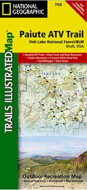
This Trails Illustrated topographic map is the most comprehensive
and complete recreational map for Utah's Paiute ATV Trail. The map
shows all trails, campsites, and recreational features, plus
valuable wilderness and Leave No Trace guidelines.
Coverage includes Fishlake National Forest, BLM - Sevier River
Resource Area; Millard, Sevier and Paiute counties; complete map of
Paiute ATV Trail with adjoining loop trails and town access maps;
Fillmore, Richfield, Koosharem, Marysvale, Geenwich and Circleville.
Piute, Otter Creek, Rocky Ford, Koosharem and Three Creeks
reservoirs.
All data is updated to reflect road closings, new trails, and
campground relocation. Printed on waterproof, tear-resistant
material with a plastic coating that offers supreme durability for
your next outdoor adventure.
Measures 4" x 9" folded and 28" x 32" fully opened. Scale =
1:90,000.
|