|
ATV Trails Books Maps & Guides
|
|||||
|
These books are the books that
I use as guides when I am in Colorado and Utah. I highly recommend
these books to anyone thinking of going to these areas. Though these
books are for Jeeps most of the trails can be ridden by ATVs and
Motorcycles 770-463-2346 All
Items are shipped next business day via USPS Priority Mail
|
|||||
|
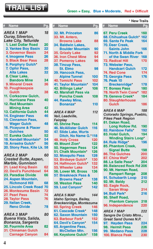
Guide to Colorado Backroads & 4-Wheel-Drive Trails 3rd Edition Most Trails are Suitable for ATVs, Dirt Bikes, and Side-by-Sides
|
|||||
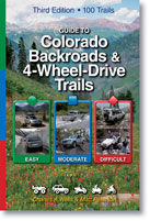
100 Trails (27 New) •
209 color
maps • 400 color photos • 232 pages Only $29.95 |
|||||
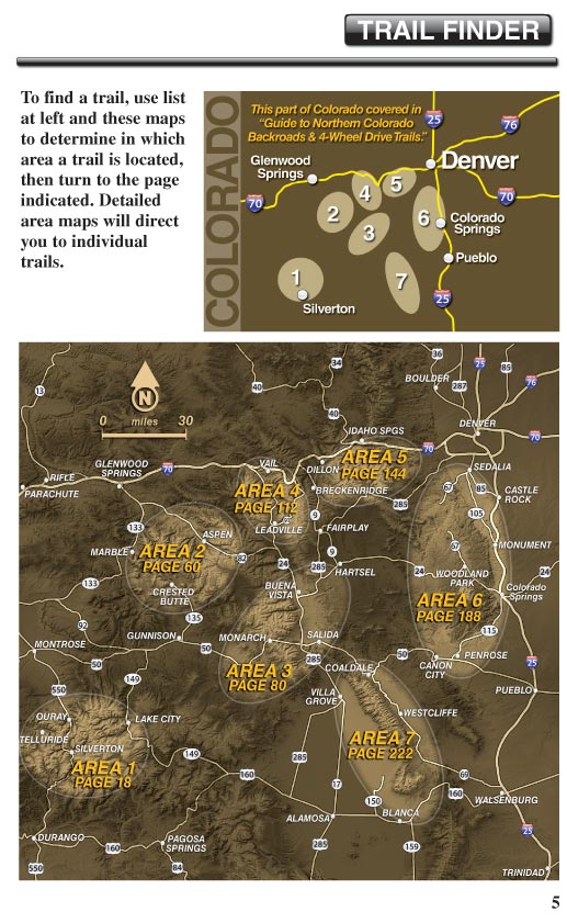
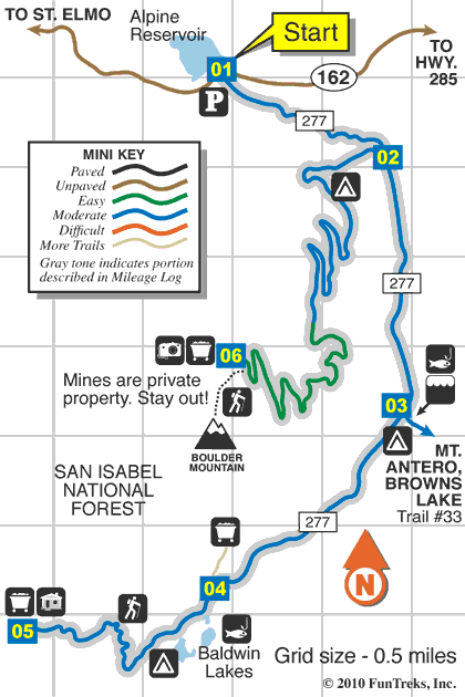
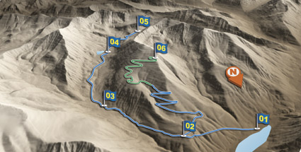
Sample Map
|
|||||
|
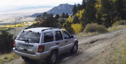
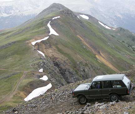
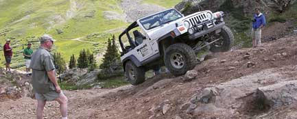
Sample Photos
La Salle Pass, Trail 88 (Easy)
Sante Fe Peak, Trail 69 (Moderate)
|
|||||