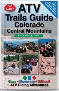
ATV Trails Guide Colorado Central Mountains
$19.9519.95Features
- 32 Trails, 168 Pages
- 33 Custom Maps
- Hundreds of color photos
- GPS Waypoints
- Routes are loops when possible
- Includes Staging Areas
- Detailed Mileage Log
More Details
Are you traveling to Colorado from the East Coast? Want to ride the trails with the easiest access to I-70? I highly recommend this book for you. Precise directions, custom maps and stunning color photos guide to and through the best mountain ATV trails in central Colorado. Most routes are day trips from Denver and other front-range cities. Thrilling rides for all skill levels. Learn where to unload and the best places to camp. GPS Waypoints. Great for dirt bikes, too.
5-1/2"x 8-1/2" ISBN 978-0-9664976-9-4
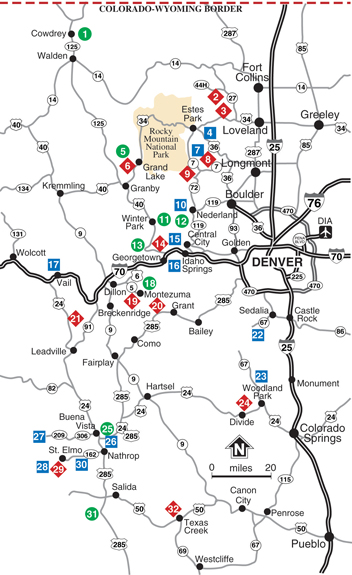
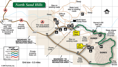
1. North Sand Hills (E)
2. Moody Hill (D)
3. Storm Mountain (D)
4. Pole Hill (M)
5. Stillwater Pass Road (E)
6. Idleglen OHV Area (D)
7. Pierson Park Road (M)
8. Johnny Park Road (D)
9. Plane Crash, Ironclads (D)
10. Caribou, Eldorado Mountain (M)
11. Rollins Pass West (E)
12. Rollins Pass East (E)
13. Jones Pass (E)
14. Bill Moore Lake, Empire Loop (D)
15. Yankee Hill, Kingston Peak (M)
16. Saxon Mountain, Lamartine (M)
17. Red & White Mountain (M)
18. Peru Creek (E)
19. Wise Mountain, Radical Hill (D)
20. Red Cone, Handcart Gulch (D)
21. Camp Hale Area (D)
22. Rampart Range OHV Area (M)
23. Rainbow Falls OHV Area (M)
24. North Divide 717 OHV Area (D)
25. Fourmile North (E)
26. Fourmile South (M)
27. Taylor Park (M)
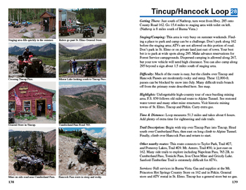
28. Tincup/Hancock Loop (M)
29. Pomeroy Lakes (D)
30. Mt. Antero, Baldwin Lakes (M)
31. Otto Mears Toll Road (E)
32. Texas Creek (D


