
ATV Trails Guide Colorado Silverton, Quray, Lake City, Telluride
$19.9519.95More Details
ATV Trails Guide Colorado Silverton, Ouray, Lake City, Telluride
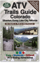
30 Trails • 32 color maps • 190 color photos • 160 pages
Ride the spectacular San Juan Mountains of southwest Colorado. Cross high passes, visit mines and explore ghost towns. Learn where to camp and unload. Precise directions, custom maps, color photos and GPS waypoints. Fun rides for all skill levels. Great trails for UTVs and dirt bikes, too.
6"x 9" ISBN 978-1-934838-03-7
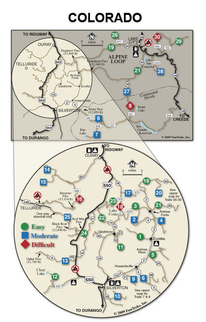
TRAILS OUT OF SILVERTON:
1. Eureka Gulch(Easy)
2. Picayne & Placer Gulches (Moderate)
3. California Gulch(Easy)
4. Burns Gulch (Moderate)
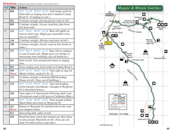
5. Maggie & Minnie Gulches(Easy)
6. Stony Pass(Moderate)*
7. Kite Lake (Moderate)*
8. Lost Trail Creek (Difficult*)
9. Arrastra Gulch(Moderate)
10. Kendall Mountain (Moderate)*
11. Prospect Gulch, Gladstone(Easy)
12. Clear Lake, Bandora Mine(Easy)
13. Ophir Pass (Moderate)
TRAILS OUT OF OURAY:
14. Yankee Boy Basin (Moderate)
15. Governor Basin (Moderate)
16. Imogene Pass(Difficult)
17. Mineral Creek (to Alpine Loop)(Moderate)*
18. Poughkeepsie Gulch (Difficult)*
19. Engineer Pass (Alpine Loop)(Easy)
20. Schafer Gulch(Moderate)
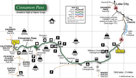
21. Cinnamon Pass (Alpine Loop)(Easy)
22. Corkscrew Gul, Hurricane P(Easy)
23. Gray Copper Gulch(Easy)
24. Red Mountain Pass(Easy)
25. BlackBear Pass, Porphyry Gulch (Moderate)
TRAILS OUT OF LAKE CITY:
26. Nellie Creek(Easy)
27. Wager Gulch, Carson (Moderate)*
28. Hill Seventyone(Moderate)*
29. Mill Creek Road (Easy)
30. Cannibal Plateau(Difficult*)
Sample Map
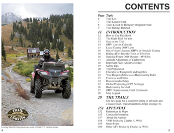
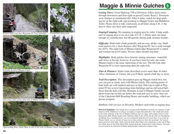
Pages 4 & 5, Contents
Pages 46 & 47, first two pages of a 4-page trail description
Pages 48 & 49, second two pages of a 4-page trail description
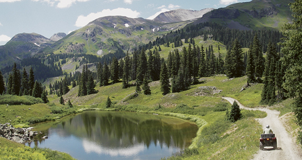
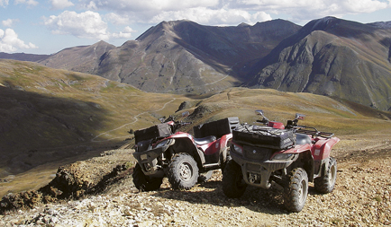
Sample Photos
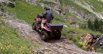
Red Mountain Pass, Trail 24, Easy
Picayne Gulch, Trail 2, Moderate
Poughkeepsie Gulch, Trail 18, Difficult