|
ATV Trails
Books Maps & Guides
|
|
678-378-7937
puncture
All
Items are shipped next business day via USPS Priority Mail
You
will be provided tracking info via email


Don't have Paypal Call 678-378-7937 8am-4:30pm EST Monday -
Friday to pay by credit card over the phone
****** You May need to turn off your pop-up
blocker to view the shopping cart ******
Free Shipping On Topo Software |
|
 |
|
|
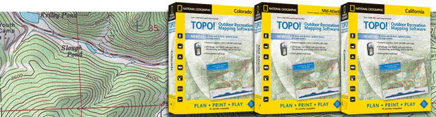
TOPO! Outdoor Recreation Software
Plan your trip, print your maps, and get out and play! TOPO! sets the
standard for outdoor recreation software, featuring the best maps for PC
and Mac, with the industry’s easiest-to-user interface. TOPO! covers all
50 US states, and is designed to make it easy for you learn and use.
TOPO!'s full feature set is designed to help make your next outdoor
adventure more fun and safe.
With TOPO!, you can:
Draw your own trails, and visualize your hikes with
one-click trail profiles
Customize your maps with routes, symbols, and text
Fly your trail in 3D to see the lay of the land
Automatically upload your trails to your GPS, and
transfer your waypoints to TOPO! after the trip is done
Get free downloads of the latest USGS quads and the most
recent street and road updates
Make beautiful custom printed maps that give you the
confidence to go out and discover
Five map scales:
Two National Geographic Atlas scales for the big picture
USGS 1:500,000-scale maps to help you hone in on your
destination
USGS 1:100,000-scale topographic maps, for a topo
overview and trip planning
USGS 1:24,000-scale topographic maps for fine detail
trail plans*
TOPO! uses genuine USGS maps, scanned at high resolution and seamed
together to give you the best possible user experience. Easy to learn
and easy to use, TOPO! gives you the ability to visualize your trip and
quickly and make your own high-quality, custom topographic maps for your
next outdoor adventure.
Whether you are hiking, climbing, photographing, fishing,
snowshoeing, or any other outdoor activity, TOPO! is your perfect
mapping gear to help you Plan, Print, and Play!
|
|
|
|
| Colorado
TOPO! Colorado
Seamless, 1:24K topographic mapping software for the whole state
of Colorado
|
Georgia, Alabama,
Florida
TOPO! Georgia, Alabama, Florida
Seamless, 1:24K topographic mapping software for all of Georgia,
Alabama and Florida
|
Utah
TOPO! Utah
Seamless, 1:24K topographic mapping software for the whole state
of Utah
|
|
|
| Check Out Our Trails Illustrated Maps |
| Pauite ATV Trail
 |
Wasatch Front
 |
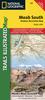
Moab South
 |
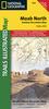
Moab North
 |
Arches
 |
Maze / Glen
Canyon
 |
|
|